Results of the Coral Distribution Survey
(FY2017-FY2021)
Report by Ministry of the Environment, Natural Environment Bureau, Biodiversity Center
Overview
1. The ministry investigated the distribution of coral in the Ryukyu Islands and Ogasawara Islands, where the impacts of climate change and other factors are of concern.
2. The ministry used a combination of satellite image analysis and on-site surveys to understand the distribution and coverage of coral.
3. The ministry compiled the results of five years of surveys and created and published a coral distribution map for the Ryukyu Islands and Ogasawara Islands.
Background
Shallow marine ecosystems such as coral reefs, tidal flats, and seagrass beds serve as vital habitats for a wide variety of marine life. Coral reefs, in particular, are known for their exceptional biodiversity, rivaling that of tropical rainforests. These ecosystems provide crucial services, including supporting fisheries and tourism. However, they are highly vulnerable to climate change, and in recent years, degradation of these environments has raised concerns about the decline in ecosystem services. Coral reef ecosystems are especially sensitive to rising sea temperatures, which cause coral bleaching and significantly alter reef conditions. As a result, up-to-date information is increasingly necessary for environmental impact assessments.
Method
From 2017 to 2021, Japan’s Ministry of the Environment conducted a survey targeting areas within the Ryukyu Islands and the Ogasawara Islands where coral distribution data had been lacking. Using satellite imagery from SPOT-6 and SPOT-7 taken since summer 2016, combined with field surveys and visual observations in selected areas, researchers analyzed coral coverage and created distribution maps. These maps were refined through expert input. In 2021, a review panel of six coral reef experts evaluated the five-year results, organizing the findings at both a broad regional scale and a localized scale.
At the regional level, they examined latitudinal distribution trends and reef coverage across different areas. At the local level, they investigated the relationship between coral distribution and environmental factors such as sea surface temperature, contributing to a more comprehensive understanding of reef health and changes over time.
Results - regional scale findings
(1) Regional-Scale Findings:
Coral distribution maps illustrate patterns across the Ryukyu and Ogasawara Islands. A clear latitudinal gradient was observed: in the southernmost Yaeyama Islands, corals are widely distributed, but as latitude increases, their distribution narrows and becomes limited to areas near the shore. Coral cover, defined as the percentage of live coral on reef-suitable seafloor (excluding sandy or muddy bottoms), was categorized into three levels: less than 5%, 5–50%, and 50–100%.
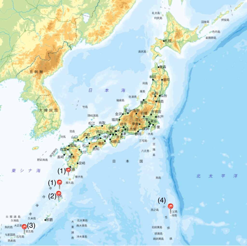
① Ōsumi and Tokara Islands: Coral area totaled 37.1 km², with 82.1% having less than 5% coral cover. Reef formation was minimal due to the absence of lagoonal areas. Dominant coral genera included Acropora (table and encrusting types), Montipora (encrusting), and Pocillopora (bushy types).
② Amami Islands: Coral area measured 75.1 km², with 59.3% under 5% coral cover. Reef development was limited and mostly near land. Dominant genera were similar to the above: Acropora, Montipora, and Pocillopora.
③ Kume, Miyako, and Yaeyama Islands: This region had the largest coral area at 300.7 km², though 66.3% still had less than 5% cover. Reef development was more prominent, supported by wider lagoon areas. Dominant coral genera included Acropora, Montipora, and massive Porites.
④ Ogasawara Islands: Coral area was 15.6 km², with 70.5% showing 5–50% cover. Reef formation was also limited and mostly coastal. Dominant genera included branching and table Acropora, Favia, and massive Porites.
Results - local scale findings
Focused studies on Amami-Ōshima and Miyako Island examined how coral distribution relates to land use and sea surface temperatures. No significant correlation was found between coral distribution and land use conditions. However, in Miyako Island, a possible link was observed between elevated sea temperatures and coral bleaching, indicating temperature stress as a key environmental factor influencing coral health.